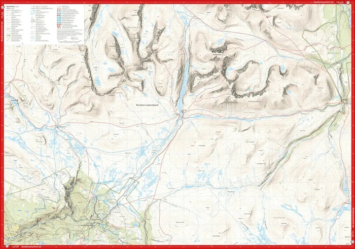
This is a unique map with a level of detail never before shown over the Rondane massif. The new details have been created using airborne laser scanning. Mountain slopes, waterways, glaciers and other natural features are displayed in much greater detail with this technology. The map also contains more trails than any previous map of the same area.
A map at a scale of 1:25,000 is useful for those planning a summit hike to Høgronden (2,118 m) or Rondslottet (2,178 m). The map can also be used by those who want to leave marked trails to explore their own routes in the high mountains. Double-sided map: 70 × 100 cm.
The map is printed on Tyvek, a synthetic fibre material that makes it completely waterproof and highly tear-resistant.